By Giovanni Roverso
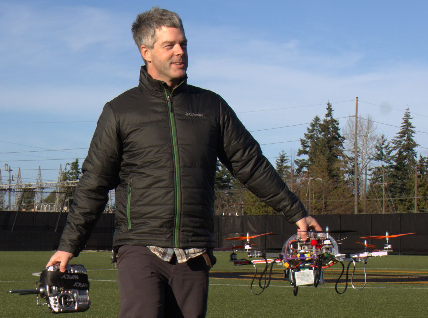
Meet PlaneCam lite, Peninsula College’s new eye in the sky. The six-propeller drone—technically an Unmanned Aerial Vehicle—or hexacopter is poised to facilitate research around the Elwha River estuary. The hexacopter is set for FAA approval in the coming months, according to Ian Miller, project leader, Washington Sea Grant Coastal Hazards Specialist and PC Oceanography professor.
PlaneCam lite is one of a number of PC contributions to the Elwha River restoration project and assumes a complementary role to the Olympic National Park’s original monitoring effort which relies on monthly charter flights out of Fairchild Airport for its image and data collection. PlaneCam’s mission is to monitor changes over time in the Elwha River basin with special focus on tracking nearly a hundred years’ worth of sediment released after the historic dam removals were completed last year. PlaneCam is headed by Andy Ritchie, also project hydrologist for the dam removal.

Miller explained that while PlaneCam does a great job of collecting a large amount of data in a small amount of time, the charter plane system just isn’t flexible enough to effectively study the area around the river mouth. Data must be taken in sync with the low tides in order to properly understand the changes in morphology at the estuary and the surrounding coastal zone. Such a task is nearly impossible in winter due to low tides occurring only at night, but even as seasons change, charter schedules do not.
A number of students have contributed to PlaneCam lite so far, in particular students in need of internship credits like Jacob Melly, a PC Huxley student who has been with the project since summer 2013. He elaborated on some of the students’ roles.
“Chris Clark (Huxley) was involved in the initial selection, purchasing, and assembly; Ammon Dodson (Peninsula College) was probably the first to figure out how to fly the hexacopter; and Austin Law (UW) figured out how to program our digital camera.” He said Dodson, Law, and himself met with Miller over the summer of 2014 and worked together on different systems. “In some sense, though,” he added, “we have taken turns trying to figure out how to get this project going, along with Ian.”
Miller said it took much longer to get the drone operational than was originally hoped, for a variety of reasons. “At the time that we came up with it, we didn’t have a lot of templates to draw from. It was original. Not many had thought of using drones for mapping at the time. But most of it has evolved since then,” he said, “of course we might change.” In hindsight, “we would have gone with a quad[copter], we weren’t sure at the time whether it would have had enough lift capacity.” The platform they chose to build the drone on promised a high degree of versatility: “It allows us to control every facet of flight, but really we need something simpler.”
“Right now we’ve started to play with the image processing side of things and we’re toying with an open-source workflow,” said Melly. “It does require multiple programs and plenty of operator input/attention. Someday (if we discover a box full of money) it might be nice to try out some commercial software that reduces some of these steps to point-and-click operations.” Miller, Ritchie, Clark and Melly have also speculated that using a fixed-wing UAV might have been best in the long run for mapping due to the inherent instability of rotary-type drones. Another issue is flight time. Currently the drone only gets seven minutes of flight time on a full charge, and improving that will be difficult. Some options include removing a secondary GoPro camera and adding an extra battery pack—though with the side effect of adding more weight back on.
The next major issue the PlaneCam lite team must tackle is FAA approval. Miller said that the study site’s proximity to the airport complicates the matter. “The FAA wants to keep our airspace safe, and it’s my understanding that they have not yet come up with final policies related to unmanned aerial systems (UAS). Hence, we have a big application to complete, then we’ll cross our fingers,” said Melly.
Miller hopes to begin studying the Elwha estuary in April. Miller also hopes the drone program can expand to involve more entities and more students from a variety of disciplines.
For example, PC students have already been working with the Feiro Marine Life Center building hydro-bots, in partial conjunction with students from PC’s Upward Bound program, PC’s Advanced Manufacturing Composites Technology program would also be able to provide valuable contributions through previous experience with remote-controlled aircraft, the high-school robotics program could get involved and the list goes on. Miller hopes that by interweaving all of these groups together into a consortium would allow to pool funds and obtain the necessary grants to keep pushing things forward.
Tami Napiontec, Upward Bound program director, was positive about getting involved. She talked about how inspiring the Northwest Association of Education Opportunity Programs regional conference she attended last October in Anchorage, Alaska, was. Here, the Alaskan Upward Bound team presented its own drone program for which students spent the summer together combining robotics, programming, mapping, and art. Further promising advances were made possible thanks to technologies like 3-D printing which allows for cheap and quick repairs. Napiontec also hopes to involve local middle schools and high-schools with future projects.
